
Kentucky State Map for Kids – Simple Educational Printable Coloring Page for Kids
Introduce your child to the geography of Kentucky with this simple, printable state map coloring page! Perfect for classrooms and at-home learning, this sheet is designed to help kids explore US maps, practice fine motor skills, and enjoy a creative educational experience.
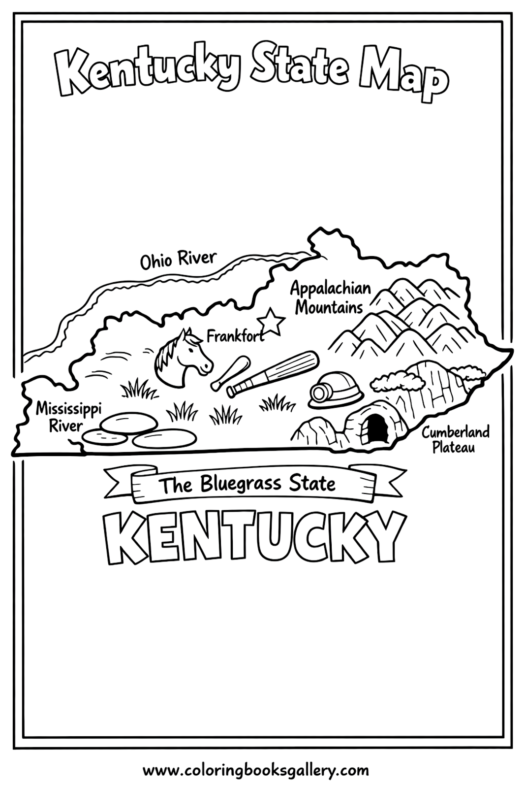
About This Coloring Page
This Kentucky state map coloring page gives children a fun introduction to the shape and concept of the state. Kids can identify the outline, decorate the map, and learn where Kentucky is in the USA. The design is easy for young learners to color and can be used as a helpful geography worksheet or visual aid during lessons. For even more state-themed fun, you might want to explore the Tennessee Educational Coloring Page or learn about another region with the Indiana Educational Coloring Page.
What’s Included
- Easy-to-color Kentucky state outline
- Large, bold borders for younger kids
- Clearly labeled state name
- Extra space to add drawings, symbols, or notes
Learning Ideas for Kids
- Color by Instructions: Ask children to color Kentucky with their favorite shades or by following simple prompts like "Blue for rivers, green for land."
- Find and Label: Encourage kids to write the state capital and major cities on the map using a marker or colored pencil.
- Compare States: Print maps of neighboring states, such as the Tennessee Educational Coloring Page, and see how the outlines differ.
- Vocabulary Building: Help children learn new terms, such as "border," "state," and "map key."
- Drawing Landmarks: Let kids add simple drawings or icons of something famous from Kentucky (like a horse or musical notes) to personalize their map.
- Cut and Paste Project: After coloring, cut the map out and glue it onto a larger poster showing the USA.
Tips for Parents & Teachers
- Discuss basic facts about Kentucky as your child colors the page.
- Use the printable as part of a US geography lesson or state project folder.
- Let younger children use thick crayons or markers for easy coloring inside the lines.
- Encourage group activities or buddy coloring for collaborative learning.
- Display finished maps on a classroom wall or family bulletin board.
Print & Download Tips
- Use regular printer paper or heavier white cardstock for durability.
- Select “Fit to Page” or “Actual Size” settings for best print results.
- Print in black and white; add color using crayons, pencils, or washable markers.
- The design works well as a PDF or PNG—choose your preferred format for easy access.
Related Coloring Pages
- Indiana Educational Coloring Page
- Ohio Educational Coloring Page
- Tennessee Educational Coloring Page
- West Virginia Educational Coloring Page
FAQ
- Is this map suitable for all ages? Yes! The simple outline makes it easy for young children, but older kids can add more detail for a challenge.
- Can I use this page for a school project? Absolutely. It’s perfect for reports, presentations, or geography units about Kentucky.
- Does the coloring page show cities or landmarks? This page features a simple state outline; kids can add their own labels or drawings inside the map.
- Is the printable free? Yes! Download and print as many copies as you need for personal or classroom use.
Ready to explore Kentucky? Download, print, and color this state map together—then share your finished artwork or check out more fun printable pages in our gallery!
Ready to start coloring?
🖍 Download Coloring Image
📄 Download PDF
About Coloring Books Gallery
Coloring Books Gallery offers a growing collection of free printable A4 coloring pages for kids and adults — from animals and nature to holidays and food designs. Visit ColoringBooksGallery.com for daily new designs and follow us on Facebook, X (Twitter), and Pinterest.